Telecom - Fixed


  • Telecom Fixed
Project type

Network Creation, Aerial & Resource Mapping (GIS) & Spatial Data Analysis to simulate overall fibre connectivity to living and commercial units.

Scope of work
  • Analysis and creation of zones on towns, mode of building is studied & plan is made to connect with building in proper ways such as arial, underground or façade.
  • The connection between pole to pole and chamber to chamber is studied, then the passing of cables and placing of optical splitter are planned.
  • Planning of placing the splitter cabinet on the towns and plans for connecting them with the central office or adjacent splitter cabinet.
  • Preparation of civil plans, schematic drawings, routing drawings, filled with attributes such as ID numbers, tube & chamber size, capacity, usages, etc.
  • Drawings & designs prepared based on client requirements, drawing information as per draft standards & specifications.

Input:
  • Town plans
  • Splitter box
  • Civil works
  • Chamber & pole details
  • Building details

Output:
Qgis files

  • Detailed design
  • Cable details
  • Splitter box

CAD drawings, PDF drawings & Excel files


Town planning
Input
Output

APD (Advanced Planning Documents) plans for Civil work
Input

The requested shapefile is imported in AutoCAD map3D and followed by civil works.

Output

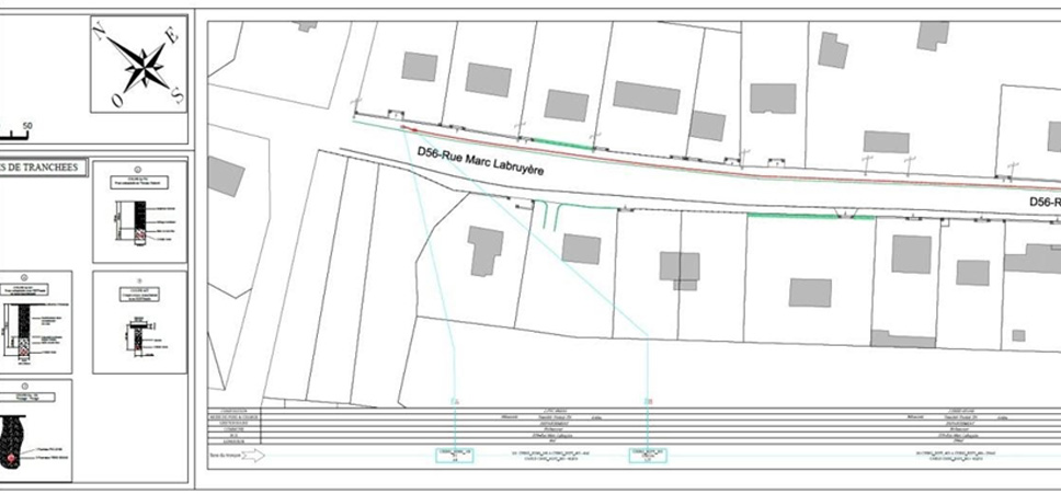
Imported shape area is traced and details are added. New tubes and chambers are added on this area and attributes are filled.


Copyright @ , Trikaal Tech Enterprises Pvt Ltd | All Rights Reserved. Designed by Pixel Studios